Understanding National Forest Systems in United States Forest Landscapes
United States forest landscapes encompass more than one hundred fifty national forests administered by the U.S. Forest Service, alongside state forests, tribal woodlands, Bureau of Land Management parcels, and forested units within the National Park System. These lands span temperate rainforests of the Pacific Northwest, longleaf pine savannas of the Southeast, aspen groves of the Rocky Mountains, maple-beech hardwoods of the Northeast, and saguaro-studded sky islands of the Southwest. Educational travelers researching national forest access and management benefit from treating forests as dynamic ecosystems managed for multiple purposes rather than as uniform wilderness backdrops.
Forest travel differs from urban or coastal tourism in ways that affect planning depth. Road networks include paved scenic byways and single-lane dirt tracks closed seasonally by snow gates. Trail maintenance priorities shift after wildfire, blowdown, and budget cycles. Wildlife presence varies by elevation band, season, and recent habitat disturbance. Cell coverage gaps span entire mountain ranges. Educational preparation emphasizes verification through official agency websites, Motor Vehicle Use Maps, trail condition bulletins, and ranger station conversations rather than assumptions drawn from outdated guidebooks or social media posts.
This guide presents general educational information about forest travel across the United States. It does not constitute personalized travel advice, guarantees of trail conditions, wildlife sightings, weather, facility availability, or safety outcomes. Always verify current conditions through official sources such as the U.S. Forest Service, National Park Service, state park agencies, and local ranger districts before departing.
How the U.S. Forest Service Manages National Forests
The National Forest System comprises approximately one hundred ninety-three million acres divided into one hundred fifty-four national forests and twenty national grasslands across forty-three states and Puerto Rico. Congress established the Forest Service within the Department of Agriculture in 1905, evolving from earlier reserves intended to protect watersheds supplying western irrigation and municipal water supplies. Today multiple-use sustained yield management guides decisions balancing timber harvest, grazing, mining, recreation, wildlife habitat, and watershed protection within individual forest plans revised on multi-decade cycles.
Each national forest divides into ranger districts maintaining local trail systems, campground inventories, road maintenance schedules, and permit programs. The forest supervisor office coordinates region-wide policies while district rangers issue specific closures, fire restrictions, and special use permits. Educational travelers learn which district manages their intended trailhead because condition reports, MVUM updates, and volunteer event calendars publish at district granularity rather than only at national forest home pages.
National forests differ from national parks in management philosophy and visitor experience patterns. Parks typically concentrate development at entrance stations, visitor centers, and designated scenic nodes with standardized entrance fees. National forests spread recreation across vast road networks with fewer developed facilities and less uniform signage. Timber sales, grazing allotments, and mineral leases remain legal uses that may temporarily alter scenery visible from scenic drives. Understanding working-landscape context prevents disappointment when a viewpoint overlooks recent harvest units regenerating with young saplings rather than old-growth cathedral timber.
Navigating Forest Boundaries and Designations
National forests often surround or adjoin national parks, wilderness areas, wild and scenic rivers, and state lands without obvious fence lines at ground level. Boundary markers appear intermittently on trees or posts; maps remain essential. Wilderness areas within national forests prohibit motorized travel and mechanized equipment, affecting bicycle access and administrative trail maintenance methods. Research Area designations may restrict off-trail travel to protect scientific study plots invisible from paths.
Wild and scenic river corridors may limit development within buffer zones affecting campsite placement and scenic drive pullouts. State forest lands adjacent to national forests may carry different camping rules, OHV policies, and hunting regulations. Educational travelers crossing invisible boundaries during multi-day loops should verify rules for each jurisdiction rather than assuming continuity.
- Download georeferenced Motor Vehicle Use Maps before forest road travel; generic mapping apps frequently route passenger cars onto impassable tracks.
- Identify wilderness boundaries on topo maps when planning bicycle or e-bike routes because prohibitions vary by forest plan.
- Confirm whether tribal lands intersect planned routes; tribal sovereignty governs access separately from adjacent national forest rules.
- Read forest plan summaries online to understand which districts emphasize recreation versus active timber management.
Recreation Passes and Fee Sites
Many developed national forest sites require recreation fees covering campgrounds, day-use areas with amenities, and some trailhead parking lots. The America the Beautiful Interagency Pass covers standardized fee sites on federal lands but does not replace special permits for wilderness overnight stays, popular trail quotas, or commercial filming. Some trailheads remain free while adjacent campgrounds charge nightly rates; fee structures vary by forest and concessionaire contracts.
Regional pass programs historically applied to specific forests though interagency pass consolidation simplified some purchases. Display pass hangtags or receipt copies as signage instructs; rangers may verify compliance at trailheads during peak season checks.
- Purchase passes from official recreation.gov or USDA vendor links rather than unauthorized resale platforms.
- Photograph pass receipts when hangtags might detach from mirror mounts on rough roads.
- Verify whether your planned dates fall under fee-free days announced annually by participating agencies.
- Ask district offices whether annual passes cover boat launch fees separately listed on some lakes.
Major Forest Regions and Ecological Diversity
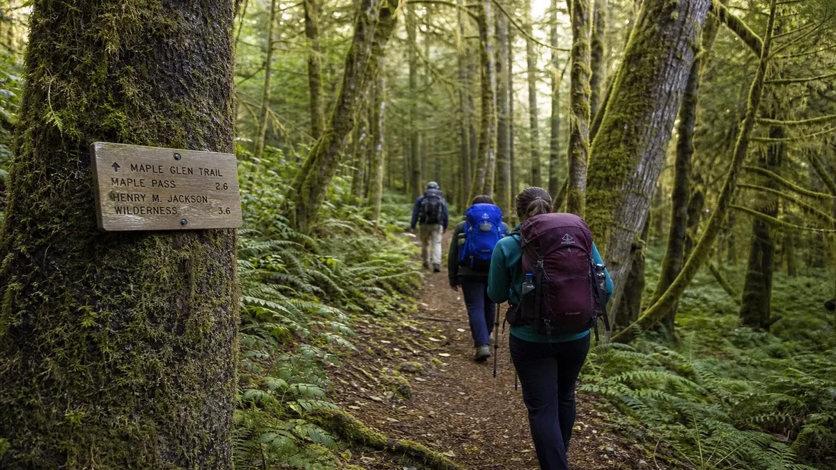
Pacific Northwest national forests including Mount Baker-Snoqualmie, Gifford Pinchot, and Willamette emphasize Douglas fir, western hemlock, and cedar communities receiving substantial precipitation. Moss-draped understories, salmon-bearing streams, and volcanic peak backdrops characterize educational travel themes. Seasonal rain and cloud cover affect visibility and road traction on mountain passes connecting forest units.
Rocky Mountain forests showcase lodgepole pine, Engelmann spruce, subalpine fir, and quaking aspen groves turning gold in September across Colorado, Wyoming, and Montana units. Elevation drives rapid ecological transitions visible within single-day drives from sagebrush valley floors to alpine tundra near pass summits. Bark beetle outbreaks and wildfire recovery create patchwork landscapes illustrating forest succession dynamics.
Southeastern national forests such as Pisgah, Nantahala, Ocala, and Apalachicola protect longleaf pine ecosystems, bottomland hardwood swamps, and sand pine scrub with distinct fire ecology requirements. Prescribed burn smoke may appear during management seasons; closures protect public safety during active operations. Heat and humidity shape summer hiking differently than dry western forests.
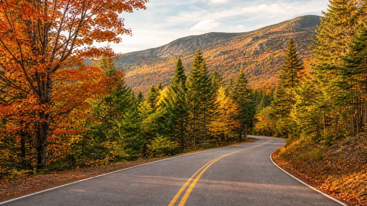
Northeastern units including White Mountain National Forest blend northern hardwood forests with spruce-fir zones at higher elevations. Compact geographic scale allows multi-state forest exploration within short driving distances though parking congestion appears during autumn foliage peaks.
Southwest Sky Island and Desert Forest Interfaces
Coronado National Forest and Lincoln National Forest segments encompass mountain islands rising from desert basins where ponderosa pine and mixed conifer forests depend on summer monsoon moisture. Driving from Tucson toward Mount Lemmon illustrates life-zone compression educational botanists study globally. Fire season and drought stress these forests differently than mesic northern systems.
Educational travelers observe how forest edges abut grassland and desert scrub with sharp ecotones vulnerable to invasive species and climate-driven mortality events documented in agency monitoring reports.
- Carry extra water when hiking sky-island forests; elevation gain from desert trailheads occurs quickly.
- Monitor monsoon thunderstorm forecasts before exposed ridge hikes in Southwest forest units.
- Learn fire restriction stages published by Southwestern regional coordination centers during dry months.
- Respect closure areas protecting Mexican spotted owl and other sensitive species habitats.
Forest Roads, MVUMs, and Scenic Driving Access
Motor Vehicle Use Maps legally define which roads and trails allow passenger vehicles, motorcycles, OHVs, and snowmobiles on each national forest. MVUMs update annually or after major events; relying on outdated paper copies risks violating newly closed routes or missing newly opened connections. MVUMs display road maintenance classes indicating expected surface conditions from paved highways to low-standard dirt tracks requiring high clearance and cautious speed.
Scenic driving through national forests often follows congressionally designated byways and state scenic routes crossing public land without continuous panoramic views. Forest canopy closes overhead for miles between overlooks. Logging trucks share pavement on working routes requiring defensive driving and patience at pullouts. Educational drivers plan fuel stops because gas stations may sit fifty miles apart in rural forest corridors.
Seasonal road closures protect wildlife during calving, prevent roadbed damage during mud season, and manage avalanche hazard on high passes. Locked gates appear with posted reopening estimates that weather may delay. Calling district offices provides verbal confirmation when online gate status lags reality after spring thaw events.
Safe Parking and Pullout Practices
Informal viewpoints along forest roads lack engineered pullouts; parking on soft shoulders risks becoming stuck or blocking emergency access gates. Choose wide gravel aprons and leave clearance for fire trucks and logging equipment requiring full lane width on one-lane segments with turnouts.
Overnight parking at trailheads may be permitted or prohibited separately from camping rules; read kiosk signage about time limits and bear activity advisories before leaving vehicles unattended with food odors inside.
- Avoid blocking gated fire roads even briefly; emergency access delays carry serious consequences.
- Use tire traction mats only where legal; some wetlands beside roads are ecologically sensitive.
- Position vehicles fully off travel lanes on one-lane roads with limited sight distance.
- Note GPS coordinates of parked vehicles when hiking loop trails returning to unfamiliar trailhead layouts.
Wildfire, Restoration, and Changing Forest Landscapes
Wildfire occurs naturally in many U.S. forest ecosystems though decades of suppression altered fuel loads and severity patterns in some regions. Recent large fires reshape scenic drives for years as hazard tree crews remove standing dead snags threatening road corridors. Regrowth meadows attract wildflowers and deer while lacking shade for midday rest stops until canopy closes again over decades.
Post-fire landscapes illustrate ecological succession educational programs interpret at visitor centers and ranger talks. Charred trunks stand above shrub fields; bird species assemblages shift toward cavity nesters and bark foragers. Temporary closures protect crews and public from rolling rocks, ash mudflows during thunderstorms, and unstable slopes.
Prescribed fire smoke indicates intentional management reducing catastrophic wildfire risk in fire-adapted pine and oak systems. Educational travelers distinguish prescribed burns from wildfire emergencies by checking official forest social media and InciWeb incident pages rather than assuming all smoke equals danger.
Researching Closures Before Departure
Forest orders closing areas publish on official websites and at ranger stations with maps showing polygon boundaries. Violating closure orders carries fines and risks injury in unstable burn scars. Some popular trails remain closed years after fires until bridges and tread reconstruction complete.
Air quality from regional wildfire smoke may make outdoor recreation unhealthy hundreds of miles from active flames; monitor AirNow.gov and local health advisories during summer western forest travel.
- Subscribe to email alerts from forests on your itinerary during fire season months.
- Photograph closure signs at trailheads with dates for personal trip documentation.
- Plan lower-elevation alternative trails when primary objectives sit within active closure polygons.
- Support local gateway communities economically when fires reduce tourism; verify which corridors remain open.
Integrating National Forest Visits Into Broader Itineraries
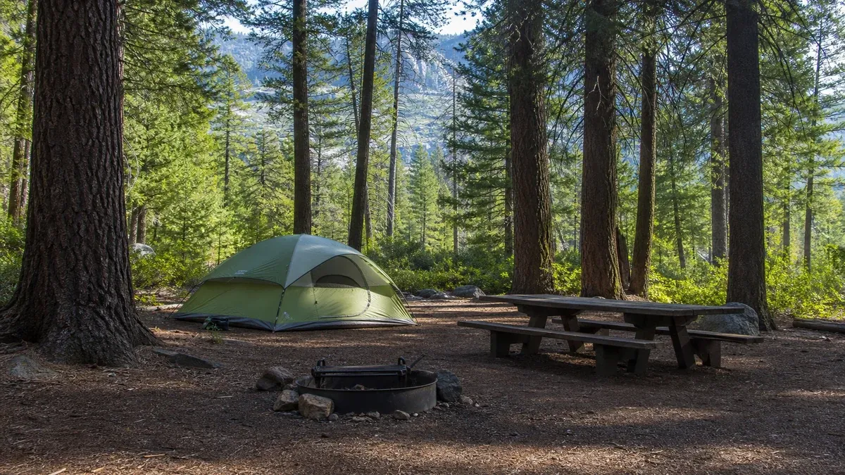
National forests often provide lower-crowd alternatives adjacent to famous national parks sharing similar geology and ecology. Camping on forest service land near park boundaries may reduce lodging costs while requiring longer drives to park entrance gates. Forest service lookout towers, Civilian Conservation Corps era structures, and interpretive trails add educational stops without park entrance fees when located outside fee boundaries.
Educational depth increases when travelers compare managed multiple-use forest with adjacent wilderness areas governed by stricter mechanized travel prohibitions. Observing active forestry, recreation, and restoration side by side illustrates public land management complexity abstracted in political debates far from trail dust.
Document personal learning through dated notes on tree species, trail conditions, and road surfaces to refine future trips. Volunteer trail maintenance days organized by partner organizations offer hands-on education about drainage design and tread standards while contributing to public land stewardship.
District Ranger Stations as Information Hubs
Smaller district offices may close weekends while major visitor centers operate seasonally with extended hours. Staff provide verbal trail reports not yet uploaded to websites, recommend suitable hikes for current fitness levels without guaranteeing outcomes, and explain permit requirements for wilderness overnight stays.
Arriving with specific questions about road numbers, trail names, and dates yields better conversations than open-ended requests for secret spots that staff cannot ethically provide when overcrowding threatens resources.
- Carry printed maps when digital devices fail in deep valleys and remote plateaus.
- Ask about hunter orange requirements during autumn shared-use seasons on forest trails.
- Request MVUM paper copies when traveling beyond cell coverage for multiple days.
- Thank staff publicly and through official feedback channels; federal recreation budgets face chronic pressure.