Understanding Seasonal Forest Travel in United States Forest Landscapes
United States forest landscapes encompass more than one hundred fifty national forests administered by the U.S. Forest Service, alongside state forests, tribal woodlands, Bureau of Land Management parcels, and forested units within the National Park System. These lands span temperate rainforests of the Pacific Northwest, longleaf pine savannas of the Southeast, aspen groves of the Rocky Mountains, maple-beech hardwoods of the Northeast, and saguaro-studded sky islands of the Southwest. Educational travelers researching seasonal patterns affecting United States forest visits benefit from treating forests as dynamic ecosystems managed for multiple purposes rather than as uniform wilderness backdrops.
Forest travel differs from urban or coastal tourism in ways that affect planning depth. Road networks include paved scenic byways and single-lane dirt tracks closed seasonally by snow gates. Trail maintenance priorities shift after wildfire, blowdown, and budget cycles. Wildlife presence varies by elevation band, season, and recent habitat disturbance. Cell coverage gaps span entire mountain ranges. Educational preparation emphasizes verification through official agency websites, Motor Vehicle Use Maps, trail condition bulletins, and ranger station conversations rather than assumptions drawn from outdated guidebooks or social media posts.
This guide presents general educational information about forest travel across the United States. It does not constitute personalized travel advice, guarantees of trail conditions, wildlife sightings, weather, facility availability, or safety outcomes. Always verify current conditions through official sources such as the U.S. Forest Service, National Park Service, state park agencies, and local ranger districts before departing.
How Seasons Transform Forest Access and Experience
Seasonal change affects United States forest travel more dramatically than many urban-oriented trip plans anticipate. Snow depth, mud saturation, wildfire smoke, hunting seasons, insect emergence, and foliage color each reshape which roads open, which trails remain safe, and what educational themes dominate any given week in the woods.
Latitude and elevation interact: spring arrives weeks earlier in southern pine forests than in northern spruce-fir zones at similar calendar dates. A forest pass open in July may remain snow-gated until June during heavy snow years. Educational travelers treat seasonal access as a weekly research task rather than permanent guidebook facts.
Shoulder seasons often provide quieter visitation and unique conditions—maple sap flows, mushroom fruiting after rain, migrating songbirds—while demanding greater flexibility when facilities reduce hours or roads close without fanfare on agency websites updated irregularly.
Building a Seasonal Research Routine
Subscribe to forest alert emails, follow official social media accounts sparingly for closure news, and bookmark trail condition pages maintained by ranger districts during active seasons. Compare SNOTEL snow data, state DOT webcams, and NRCS bulletins when evaluating early-season high-elevation access.
Smartphone applications aggregating user reports supplement but never replace agency closure maps during fast-moving wildfire or flood events.
- Screenshot trail status pages with timestamps for personal records when planning return visits.
- Learn to read aspect and elevation on topo maps predicting lingering snow on north faces.
- Treat undated trail reports as historical anecdotes requiring verification, not current facts.
- Call ranger stations within forty-eight hours of major hikes for verbal condition summaries.
Spring in American Forests
Spring brings wildflower displays in cove forests, amphibian breeding in vernal pools, and rapid green-up along riparian corridors. Mud season closes fragile trails in New England and Pacific Northwest until tread dries sufficiently to avoid rutting. Higher elevations remain snow-covered while valleys bloom, tempting hikers to underestimate pass conditions on linked loop routes.
Runoff swells forest streams, enhancing waterfall flow while complicating footbridge crossings and road washouts on low forest crossings. Tick activity increases in eastern hardwood forests as temperatures rise; preventive checks become part of daily routine after hikes.
Early Season Road and Trail Realities
Forest gates may remain locked while valley trailheads appear summer-ready; verify entire route continuity before committing to point-to-point hikes crossing passes. Blowdown from winter storms blocks trails until crews clear paths weeks after snow melts locally at trailheads.
Prescribed burn smoke appears in fire-adapted pine systems during management windows chosen for humidity and wind conditions.
- Carry traction devices for hard-packed spring snow on shaded north-aspect forest trails.
- Obey mud-season trail closures protecting tread in thawing northern hardwood forests.
- Pack rain gear for frequent shower patterns in southeastern and Pacific Northwest spring weather.
- Start hikes early to complete river fords before afternoon snowmelt raises water levels.
Summer Forest Travel Considerations
Summer opens the widest road and trail network yet concentrates visitation, thunderstorms, wildfire risk, and insect peaks simultaneously. Popular forest campgrounds and trailheads fill before mid-morning on holiday weekends; parking overflow onto narrow forest roads creates safety hazards and resource damage.
Afternoon thunderstorms build quickly above treeline and in mountainous forest interiors; plan summits and exposed ridge segments for morning completion. Heat and humidity stress hikers in southeastern and midwestern forests despite shade; dehydration remains common when cool understory air masks exertion levels.
Fire Season and Air Quality
Regional wildfire smoke may reduce visibility and create unhealthy air quality hundreds of miles from active flames. Flex plans swap long hikes for visitor center programs or lower-elevation forest walks when AirNow.gov and local health advisories recommend limiting exertion.
Fire restrictions often prohibit wood campfires while allowing gas stoves; verify daily restriction levels during western dry forest travel.
- Monitor InciWeb and official forest fire pages when traveling multi-state forest itineraries in summer.
- Carry N95 or equivalent masks when smoke events coincide with planned trips if health guidance recommends.
- Obey closure orders around active fires; illegal entry risks fines and rescue diversion from fire crews.
- Pack insect repellent and head nets for peak black fly and mosquito windows in northern forests.
Autumn Forest Seasons
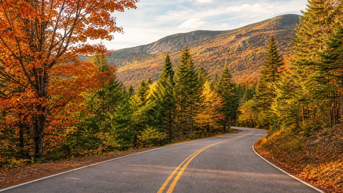
Autumn foliage draws heavy visitation to hardwood forests of the Northeast, Great Lakes region, and southern Appalachians. Peak color timing shifts yearly with temperature and moisture patterns; prediction tools provide estimates rather than guarantees. Parking congestion on scenic forest drives and popular trailheads requires weekday or early-morning strategies when possible.
Hunting seasons overlap autumn recreation on many national forests; blaze orange visibility requirements vary by state weapon type and date. Some trailheads close temporarily for wildlife management hunts in state lands adjacent to forest routes.
Shoulder Weather and Shorter Days
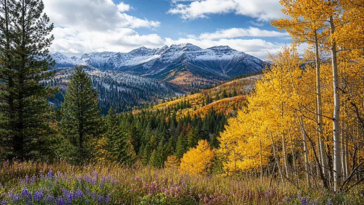
Temperature swings from warm afternoons to near-freezing nights require layered clothing on long forest hikes. First snow dustings appear on northern and high-elevation forests in October while lower elevations remain accessible with extra insulation and shorter daylight planning.
Leaf fall obscures trail blazes and covers root tripping hazards on steep forest descents; tread carefully after wind events.
- Verify hunter orange requirements for hikers in states sharing forest land with autumn hunting.
- Carry headlamps with spare batteries when hikes approach sunset during shrinking daylight.
- Book campgrounds early for Columbus Day and peak foliage weekends in famous corridors.
- Check pass road snow gate schedules before late-October high-elevation scenic drives.
Winter Forest Access and Activities
Winter closes many high-elevation forest roads behind snow gates, shifting recreation to lower forests, cross-country ski trails groomed on forest service land, snowshoe routes, and plowed access corridors only. Developed campgrounds often shut water systems; vault toilets may remain open intermittently.
Avalanche terrain exists where forest openings meet steep slopes in mountain regions; backcountry winter travel requires forecast literacy beyond casual day-hike experience. Hypothermia and short daylight hours constrain turnaround planning on forest trails packed with snow but not formally groomed.
Low-Elevation Winter Alternatives
Southern pine forests and desert-margin woodlands offer milder winter hiking when northern routes ice over. Evergreen forests in winter provide distinct photography opportunities with reduced crowds when roads remain plowed to trailheads.
Wildlife tracking in snow reveals mammal activity patterns educational observers study without close approach.
- Verify plowing status on forest roads before driving remote winter cabin or trailhead access routes.
- Layer clothing systems for stop-time cooling during stationary wildlife observation in cold forests.
- Carry traction devices for icy packed snow on shaded forest trails popular with local walkers.
- Respect winter wildlife closures protecting ungulate winter range even when trails appear unused.
Regional Seasonal Comparison Frameworks
Compare seasonal expectations when moving between forest provinces: Pacific Northwest dry summer windows differ from Southwest monsoon thunderstorm seasons; Great Lakes insect and snow patterns differ from southeastern humidity cycles. Transferring packing lists without adjustment causes discomfort without implying any region is universally superior.
Document personal visit dates, conditions, and lessons in travel journals to refine future seasonal timing rather than relying solely on generic best-month listicles.
Flexibility as a Core Seasonal Skill
Rank trip objectives as primary and secondary before traveling long distances; secondary lower-elevation forest trails provide substitutes when primary passes remain snowbound or smoky.
Build one flex day per week into multi-region forest itineraries to absorb weather and access surprises without collapsing lodging plans downstream.
- Accept that some years require postponing specific routes without framing delays as trip failure.
- Archive official bulletins with dates supporting future seasonal planning decisions.
- Combine indoor forest learning—visitor centers, museums—with outdoor plans when storms persist.
- Share dated condition reports through official feedback channels when agencies request public input.