Understanding Forest Photography in United States Forest Landscapes
United States forest landscapes encompass more than one hundred fifty national forests administered by the U.S. Forest Service, alongside state forests, tribal woodlands, Bureau of Land Management parcels, and forested units within the National Park System. These lands span temperate rainforests of the Pacific Northwest, longleaf pine savannas of the Southeast, aspen groves of the Rocky Mountains, maple-beech hardwoods of the Northeast, and saguaro-studded sky islands of the Southwest. Educational travelers researching photography in woodland and forest settings benefit from treating forests as dynamic ecosystems managed for multiple purposes rather than as uniform wilderness backdrops.
Forest travel differs from urban or coastal tourism in ways that affect planning depth. Road networks include paved scenic byways and single-lane dirt tracks closed seasonally by snow gates. Trail maintenance priorities shift after wildfire, blowdown, and budget cycles. Wildlife presence varies by elevation band, season, and recent habitat disturbance. Cell coverage gaps span entire mountain ranges. Educational preparation emphasizes verification through official agency websites, Motor Vehicle Use Maps, trail condition bulletins, and ranger station conversations rather than assumptions drawn from outdated guidebooks or social media posts.
This guide presents general educational information about forest travel across the United States. It does not constitute personalized travel advice, guarantees of trail conditions, wildlife sightings, weather, facility availability, or safety outcomes. Always verify current conditions through official sources such as the U.S. Forest Service, National Park Service, state park agencies, and local ranger districts before departing.
Light, Canopy, and Forest Photography Fundamentals
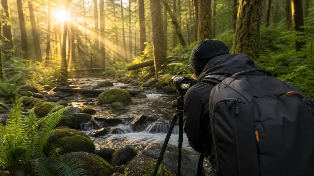
Forest photography combines filtered light through canopy, high dynamic range between sunflecks and deep shade, and complex vertical structure challenging exposure meters. Overcast days often simplify contrast while reducing dramatic sunbeams; early morning and late afternoon side light emphasizes texture on bark, ferns, and trail features.
Educational photographers experiment with white balance and exposure compensation rather than assuming auto modes produce consistent results under green canopy cast. RAW capture preserves editing latitude when contrast exceeds display screen preview accuracy in field conditions.
Weather changes rapidly in mountain forests; rain enhances color saturation on moss and leaves while requiring equipment protection and traction awareness on trails simultaneously.
Working With Canopy Cover and Sunflecks
Spot metering and exposure bracketing help manage scenes where bright sky holes blow highlights while understory remains shadowed. HDR techniques and graduated filters each carry tradeoffs educational photographers learn through practice rather than single-rule formulas.
Fog and mist common in Pacific Northwest and Appalachian mornings diffuse light favoring intimate forest compositions without distant vistas.
- Scout compositions during daylight for safe return in blue hour without headlamp surprises.
- Use lens hoods to reduce flare when shooting toward canopy gaps.
- Carry microfiber cloths; humidity and mist deposit droplets frequently in riparian forest zones.
- Note shadow movement speed increases near open edges compared to deep interior forest.
Composition Strategies in Woodland Settings
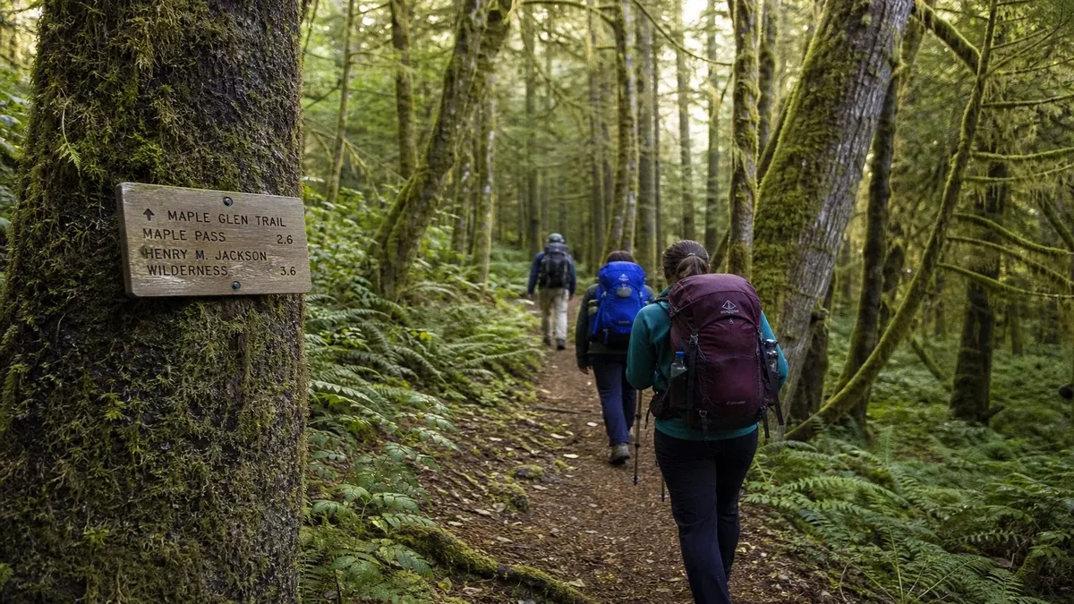
Include foreground elements such as ferns, logs, and trail curves to convey depth against tree columns receding into atmospheric perspective. Human figures provide scale sparingly without blocking narrow trail corridors for other visitors during setup.
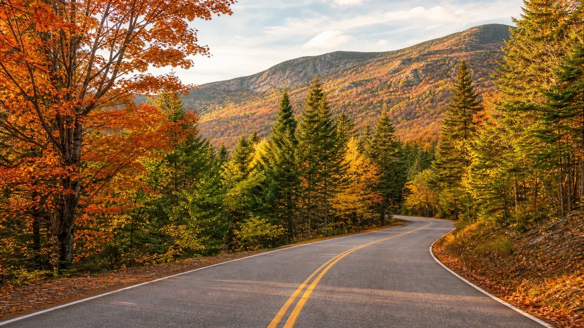
Seasonal elements—spring wildflowers, autumn maple color, winter snow on conifer boughs—anchor images temporally, communicating that conditions may differ on return visits.
Intimate Versus Grand Forest Scenes
Not every forest photograph requires wide-angle grandeur; telephoto compression isolates tree patterns, wildlife at distance, and waterfall tiers while respecting closure boundaries.
Macro photography of fungi, lichens, and insects supports educational documentation when specimens left undisturbed and not collected where prohibited.
- Avoid trampling understory to clear sightlines; rangers cite vegetation damage during wildflower seasons.
- Use existing trail bends for leading lines rather than creating new foot pressure off tread.
- Frame images including interpretive signs when storytelling about ecology matters more than pure aesthetics.
- Balance tripod use with yielding space quickly on crowded forest boardwalks and viewpoints.
Equipment Protection and Field Maintenance
Silica gel packets and dry bags reduce moisture damage when moving between air-conditioned lodging and humid trailheads. Rain covers for packs and camera bodies extend shooting windows during passing showers common in temperate forests.
Tripods with spiked feet stabilize on rooty and rocky forest terrain; carbon fiber reduces weight for long hikes at cost premium. Backup batteries lose capacity in cold weather; store spares inside jacket layers during winter forest outings.
Lens Choice and Practical Tradeoffs
Wide zooms suit cathedral grove interiors; fast primes help dim understory without flash that disturbs wildlife and other hikers. Telephoto lenses support ethical wildlife images from required distances when species appear along forest edges.
Changing lenses in dusty or humid conditions risks sensor contamination; plan focal length strategy before entering long loop hikes.
- Practice changing lenses with body pointed downwind to minimize sensor dust intrusion.
- Secure camera straps on exposed ledges; dropping equipment endangers hikers below on multi-tier waterfall trails.
- Balance phone backup photography when primary bodies fail without ending documentation entirely.
- Log exposure settings alongside images when learning manual modes in high-contrast forest scenes.
Ethics, Permits, and Location Sharing
Commercial photography and filming may require permits on public lands even when casual tourist snapshots do not. Wedding parties blocking forest overlooks during peak hours draw enforcement in congested recreation areas.
Recreational drones remain prohibited in many national parks and wilderness areas overlapping forest photography destinations. Respect indigenous cultural property restrictions on ceremonial sites where photography is prohibited regardless of equipment type.
Geotagging and Sensitive Location Stewardship
Sharing exact coordinates of fragile meadows, rare plant sites, or overcrowded hidden falls may accelerate damage. Consider regional descriptions and educational context rather than pinpoint social media tags when stewardship concerns documented by land agencies.
Credit park interpreters and published materials when reproducing geological or ecological facts learned on site.
- Register drones only where legal; national parks remain no-fly for recreation in most cases.
- Watermark shared images with dates so viewers understand conditions may have changed.
- Support conservation organizations benefiting landscapes photographed rather than geotagging secret locations.
- Obtain model releases when identifiable people featured prominently in commercial work.
Wildlife and Wildflower Photography in Forests
Telephoto lenses maintain required distances from elk, bears, and nesting birds. Never trim vegetation to clear sightlines; trampling violations occur during peak wildflower photography seasons in popular hardwood forests.
Avoid playback of recorded bird calls during breeding season when prohibited. Stay on durable surfaces in riparian zones bordering forest streams supporting sensitive amphibian habitat.
Night Forest and Astrophotography
Dark sky areas within national forests offer Milky Way visibility when moon phase and cloud cover cooperate. Light pollution from distant towns still appears on horizons; headlamp red modes preserve night vision during group outings.
Nocturnal wildlife photography requires distance and legal compliance; spotlighting animals is illegal on public lands.
- Check moonrise times to avoid washing out faint galactic detail unintentionally.
- Secure tripods against wind gusts common on forest edges adjacent to open meadows.
- Dress warmly; stationary night shooting chills bodies faster than hiking generates heat.
- Inform companions before bright light bursts during group night sessions.
Planning Photography-Focused Forest Trips
Build flexible itineraries accommodating weather rather than forcing single-icon shots daily. Repeat visits to familiar forest trails under different seasons deepen understanding more than checklist chasing across excessive driving distances.
Combine photography objectives with Leave No Trace and trail etiquette; other hikers experience delays when tripods block narrow boardwalks during peak visitation at popular forest destinations.
Post-Trip Learning and Cataloging
Catalog images with regional metadata stripped to appropriate level when sharing publicly to reduce overcrowding at fragile sites. Review histograms and focus accuracy at home to refine settings on subsequent trips.
Compare revisit photos to document forest recovery after fire, insect outbreak, or management actions over multi-year intervals.
- Back up memory cards before reformatting at trip end.
- Archive official trail and closure notices with image folders for context years later.
- Share educational captions explaining ecology rather than only aesthetic praise.
- Respect requests not to photograph individuals or ceremonies without consent.