Understanding Forest Waterfalls in United States Forest Landscapes
United States forest landscapes encompass more than one hundred fifty national forests administered by the U.S. Forest Service, alongside state forests, tribal woodlands, Bureau of Land Management parcels, and forested units within the National Park System. These lands span temperate rainforests of the Pacific Northwest, longleaf pine savannas of the Southeast, aspen groves of the Rocky Mountains, maple-beech hardwoods of the Northeast, and saguaro-studded sky islands of the Southwest. Educational travelers researching waterfall hikes and riparian forest corridors benefit from treating forests as dynamic ecosystems managed for multiple purposes rather than as uniform wilderness backdrops.
Forest travel differs from urban or coastal tourism in ways that affect planning depth. Road networks include paved scenic byways and single-lane dirt tracks closed seasonally by snow gates. Trail maintenance priorities shift after wildfire, blowdown, and budget cycles. Wildlife presence varies by elevation band, season, and recent habitat disturbance. Cell coverage gaps span entire mountain ranges. Educational preparation emphasizes verification through official agency websites, Motor Vehicle Use Maps, trail condition bulletins, and ranger station conversations rather than assumptions drawn from outdated guidebooks or social media posts.
This guide presents general educational information about forest travel across the United States. It does not constitute personalized travel advice, guarantees of trail conditions, wildlife sightings, weather, facility availability, or safety outcomes. Always verify current conditions through official sources such as the U.S. Forest Service, National Park Service, state park agencies, and local ranger districts before departing.
How Forest Waterfalls Form and Change Seasonally
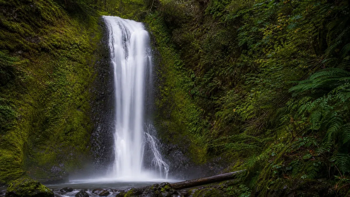
Forest waterfalls occur where streams descend over bedrock steps, cliff bands, or glacially carved notches within wooded watersheds. Precipitation patterns, snowpack depth, upstream geology, and recent drought cycles control flow volume more than trail difficulty or promotional photography suggests. A cascade appearing dramatic in spring snowmelt may reduce to a thin veil by late summer while remaining worth visiting for fern groves and gorge ecology.
Riparian forests surrounding waterfalls create microclimates with higher humidity, cooler air, and specialized plant communities including mosses, liverworts, and shade-tolerant wildflowers. Educational hikers observe how waterfall spray zones erode trails and support different tree species than adjacent upland slopes only minutes away on foot.
Waterfall destinations span famous national park icons to modest forest service trails ending at unnamed ledges. Educational research distinguishes maintained trails with established viewing platforms from social paths that may traverse unstable slopes or violate closure boundaries after rockfall events.
Reading Flow Reports and Seasonal Timing
Agency websites, park social media, and regional hiking organizations sometimes publish waterfall flow commentary after major rain events or during drought advisories. Neither high nor low flow guarantees a particular aesthetic outcome; each condition teaches different hydrological lessons.
Winter ice formations at some northern forest waterfalls create viewing and hazard conditions simultaneously; trails may close when icicles and frozen mist coat stairs and platforms.
- Plan spring visits when snowmelt and rain typically maximize flow in mountain forest watersheds.
- Accept reduced flow during drought years without assuming trails lack educational value.
- Check trail status after storms that commonly trigger rockfall in gorge settings.
- Verify whether viewing platforms remain open during ice events in northern forests.
Notable Forest Waterfall Regions and Trail Types
Pacific Northwest forest gorges including Columbia River Gorge tributaries and Olympic Peninsula valleys feature multi-tiered falls through conifer forest with established trail networks subject to permit and parking management during peak hours. Slippery basalt and mist-saturated stairs require footwear with traction and careful pacing regardless of hiking experience elsewhere.
Appalachian and Blue Ridge forests host hundreds of accessible falls from roadside pullouts to multi-mile hikes through cove hardwoods. Humid conditions grow algae on rock and wood steps; handrails and chains assist on steeper developed trails when maintained.
Upper Midwest northwoods and Michigan Upper Peninsula forests combine lake-influenced humidity with falls on rivers cutting through glacial deposits. Black flies and mosquitoes peak seasonally, affecting comfort without eliminating waterfall access.
Smaller Forest Falls and Local Gems
National forest trail systems often end at modest falls absent from national marketing campaigns yet providing quiet observation when researched through district recreation lists and local visitor bureaus. These sites may lack guardrails; assume unfenced edges require distance discipline.
Waterfall loops linking multiple cascades on one stream system reward full-day hikes with cumulative elevation gain underestimated when each segment seems short independently.
- Search forest recreation pages for waterfall keywords beyond famous park lists.
- Carry dry bags for electronics in mist zones common at base viewpoints.
- Avoid climbing on wet rock beside falls; rescue resources may be distant in forest backcountry.
- Respect closure tape after rockfall; unstable talus continues shifting days after initial events.
Trail Hazards and Safety Near Forest Waterfalls
Slippery surfaces, unfenced drop-offs, and swift current above and below falls injure visitors who underestimate wet rock friction and cold water strength. Stay on designated trails and platforms; social media posing locations on wet ledges outside maintained areas contribute to recurring fatalities documented in agency safety messaging.
Flash flood potential exists in narrow forest gorges where upstream rain not visible locally raises water quickly. Turn back when skies threaten or when water begins rising or muddied during hikes through slot-like stream corridors.
Hypothermia risk increases when hikers soaked by mist or accidental slips in cold forest stream water during shoulder seasons when air temperatures feel mild.
Footwear, Traction, and Group Management
Trail shoes or boots with sticky rubber outperform flat sneakers on wet forest stairs. Trekking poles improve stability on descent when knees fatigue after long waterfall loop days.
Children require close supervision at unfenced viewpoints; crowd pressure at popular falls increases separation risk during peak visitation.
- Test footing before committing full weight on algae-covered steps.
- Keep one hand free on steep gorge stairways for grip on rails when present.
- Establish meeting points if groups split between base and upper fall viewpoints.
- Turn back rather than ford high water to reach alternate fall viewpoints.
Photography and Observation Ethics at Waterfalls
Long exposure photography of falls attracts tripod use on narrow forest viewing platforms. Set up efficiently and yield space during crowded periods. Polarizing filters reduce glare on wet foliage; lens cloths manage mist droplets repeatedly settling on glass.
Stay on durable surfaces; trampling ferns and moss banks beside falls for cleaner compositions damages riparian vegetation recovering slowly in shade. Follow drone regulations; many forest falls lie within national park or wilderness boundaries prohibiting recreational unmanned aircraft.
Sharing Locations Responsibly
Geotagging fragile or overcrowded waterfall sites on social media may accelerate resource damage and parking chaos on narrow forest roads. Share general regional learning without pinpoint coordinates when sites lack infrastructure for high visitation.
Credit indigenous place names and watershed context when discussing falls on historically significant lands.
- Photograph interpretive signs for personal watershed notes rather than blocking others at platforms.
- Use telephoto lenses to compress multiple tiers without entering closed areas.
- Pack out all trash; popular falls accumulate micro-litter in spray zones.
- Report vandalism or new social trails to rangers when observed safely.
Integrating Waterfall Hikes Into Forest Itineraries
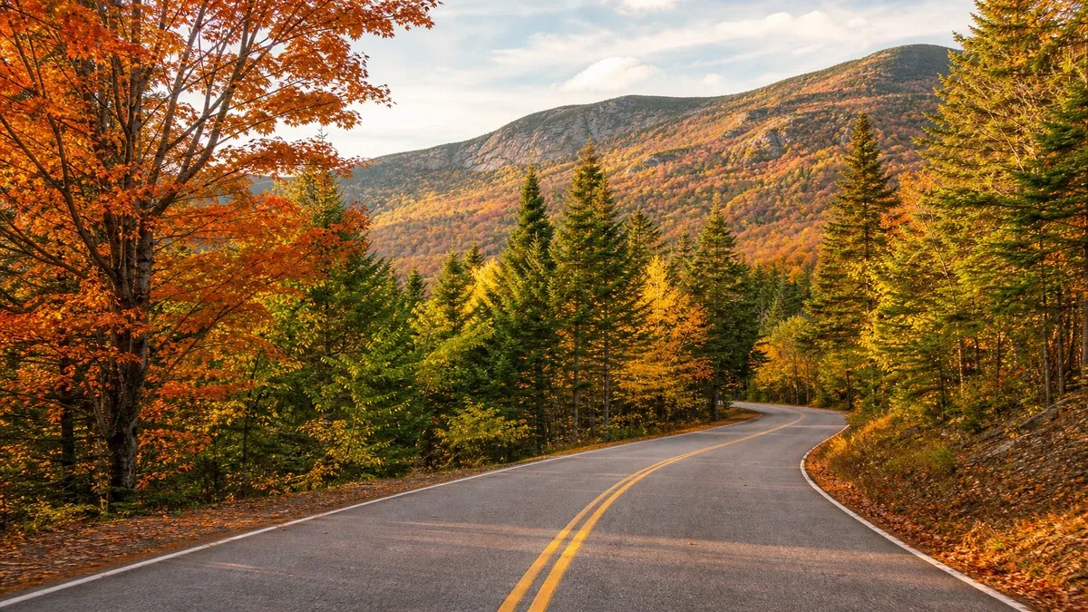
Waterfall hikes combine well with scenic drives through forest corridors when parking reservations and daily entry quotas allow. Morning starts reduce congestion at popular trailheads and improve photography light in east-facing gorges depending on geography.
Balance waterfall objectives with overall elevation gain and driving time on winding forest roads. Two moderate falls in one day may exceed fitness plans that seemed reasonable on map distance alone.
Accessibility and Alternative Viewpoints
Some developed falls offer accessible paths to lower viewpoints while upper tiers remain stair-only. Research official accessibility statements rather than assuming uniform access along entire fall systems.
When primary trails close, alternative forest walks along the same stream may still provide educational riparian observation without reaching the main drop.
- Identify vault toilets and drinking water at trailheads before long gorge hikes.
- Pack lunch in odor-minimized containers when bears active in forest watersheds with berry crops.
- Allow flex time for mist-soaked clothing changes after close base viewing.
- Combine waterfall days with lower-impact forest nature walks for recovery.
Watershed Context and Stewardship
Waterfalls connect visibly to upstream land use, forest health, and precipitation patterns. Educational travelers read about watershed protection, dam removals, and sedimentation affecting fall appearance over decadal scales rather than viewing each visit as isolated scenery.
Supporting volunteer stream cleanup and trail maintenance organizations helps preserve waterfall access trails eroded by high foot traffic and storm events in forest settings.
Learning Beyond the Viewpoint
Identify dominant tree species and geology types at falls to compare regions visited across years. Basalt column falls differ ecologically from sandstone ledge drops in Appalachian cove forests.
Observe aquatic insects and amphibians only from trail margins without handling organisms sensitive to sunscreen and dry skin contact.
- Visit forest visitor centers exhibiting watershed models and hydrology interpretive displays.
- Read about fish passage projects when falls occur on historically dammed streams.
- Document flow conditions with dates for personal phenology journals.
- Follow all soap and sunscreen guidance near sensitive aquatic habitats.